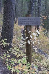
Garnet Peak trailhead is located in
Gallatin Canyon at the same spot as the Storm Castle trail, but
on S side of road. Very good dirt road past USFS helicopter pad
after crossing Gallatin R. on an old cement bridge.
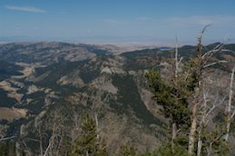
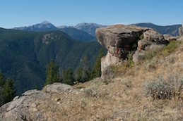
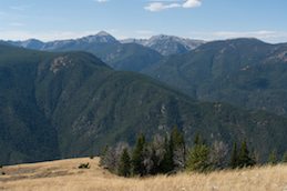
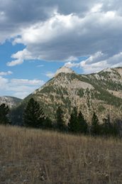
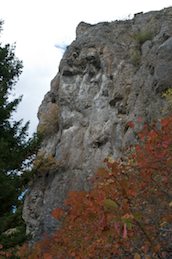
This hike took me about 2 1/2 hours up, hiking
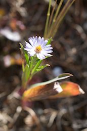
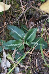
steadily. Some nice wildflowers and great views from the top.
There is an old hunting blind off to the side from the cabin.
During elk season you may hear some gunshots.
Date: Oct 1, 2011
Photos by Colleen F. Moore
Part of my virtual hiking guide to the Bozeman area.
(download the gpx,
open in Google Earth and see the route)
( back
to main photo index)
|
|