Here is an index of GPX files from day
hikes around the Bozeman, MT area
|
List of gpx files:
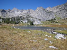
Albino
Lake (Taylor fork, south of Big Sky)
Beehive
Basin (near Big Sky ski resort)
Deer
Lake / Moon Lake (4 mi north of Big Sky)
Garnet
Peak (in Gallatin Canyon)
Hellroaring
Creek (in Gallatin Canyon)
Lava
Lake (in Gallatin Canyon)
Spanish
Creek (in Gallatin Canyon)
Drinking Horse Mountain (near the M Trail)
Foothills
Trail (in Bridger range)
M Trail (in Bridger range)
Middle
Cottonwood (in Bridger range)
New
World Gulch (in Hyalite area)
|